This auction is live!
You need to be registered and approved to bid at this auction.
Watch the auctionYou need to be registered and approved to bid at this auction.
Watch the auctionIt is no longer possible to bid at this auction.
You are now approved to bid at this auction.
You have successfully registered for this auction, pending approval to bid. Please check your email for further information.
Please contact the auctioneer for more information.
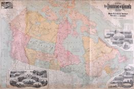
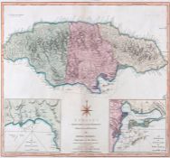
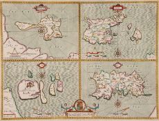
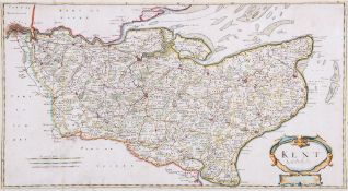
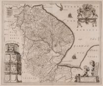
Multi-location - see lot details
|
Auction currency
|
GBP |
|
Accepted cards
|


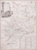
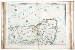
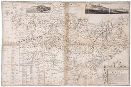
![Cruchley (G.F.) - [Ordnance Survey map of Kent], 4-sheet map of the South East, covering all of](https://portal-images.azureedge.net/auctions-2014/blooms10020/images/3e437ad8-fa7d-46eb-a472-a3f8016e15c3.jpg?h=175)


We are always adding new lots, use search to find similar items.
To be sure to win, come back before the lot closes or increase your maximum bid.
For a chance of winning, increase your maximum bid.
Another bidder has already bid this amount. For a chance of winning, increase your maximum bid.
Congratulations!
You are the winning bidder on this lot.
Unfortunately you have missed out on this lot.
Please refresh your page to see current lot status.
Please contact customer services for more help.
Your bid has been declined by the auctioneer, please contact customer services for more information.
Please check your email account for more details.
Confirming your bid is a legally binding obligation to purchase and pay for the lot should your bid be successful.