This auction is live!

You need to be registered and approved to bid at this auction.

Watch the auction
This auction is closed!

It is no longer possible to bid at this auction.

You are registered for this auction

You are now approved to bid at this auction.

Your auction registration is now pending

You have successfully registered for this auction, pending approval to bid. Please check your email for further information.

Your auction registration has been declined

Please contact the auctioneer for more information.

Bibliophile Sale
Live
Venue address
Baverstock House
93 High Street
Godalming, Surrey
GU7 1AL
United Kingdom

Multi-location - see lot details

Bibliophile Sale

Auction dates
11 Dec 2014 11:00 GMT
Auction currency
GBP
Accepted cards
We found 23 items matching your search
Category
Item Type
Sorted by
editors . William Beckford, 1760-1844: An Eye for the Magnificent  editors  .     William Beckford,
360 GBP
150 - 200 GBP
Estimate
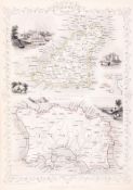
Channel Islands.- Rapkin (John) - Channel Islands, for the Tallis Atlas, a double map of Guernsey
30 GBP
100 - 150 GBP
Estimate
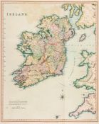
Ireland.- - A good group of 11 Irish maps, by, for or after Teesdale, Weller, Murray, Tallis and
150 GBP
200 - 300 GBP
Estimate
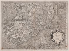
Mercator (Gerard) - Irlandiae Regnum, Ireland in 2 full sheets, strapwork title cartouche in lower
140 GBP
250 - 350 GBP
Estimate
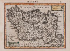
Mercator (Gerard) - Irlandia; Anglia, Scotia et Hibernia, 2 small maps, both with adjoning text
100 GBP
200 - 300 GBP
Estimate
Senex (John) - Ireland, corrected from the latest observations, with inset map of the British
0 GBP
200 - 300 GBP
Estimate
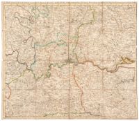
Kitchin (Thomas) - A Map of the Countries Thirty Miles Round London, showing from Marlow to
70 GBP
150 - 250 GBP
Estimate
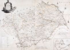
Armstrong (Capt. Andrew) and Mostyn John Armstrong - The Map of the County of Berwick, large map
0 GBP
250 - 350 GBP
Estimate
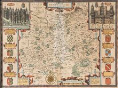
Speed (John) - Surrey Described and Divided into Hundreds, 1st edition county map by Jodocus
320 GBP
300 - 500 GBP
Estimate
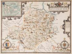
Speed (John) - Montgomery Shire, strapwork title cartouche upper right, upper inset plan of
70 GBP
200 - 300 GBP
Estimate
Warwici? [Warwick], n.d. [c. 1600] § Kip Staffordiae? [Staffordshire], n.d. [c  (Christopher)
20 GBP
100 - 150 GBP
Estimate
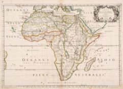
Sanson (Nicholas) - Africa Vetus, map of ancient Africa, showing Madagascar, and part of the east
0 GBP
200 - 300 GBP
Estimate
Pirates.- [Esquemelin (Alexandre)] - The History of the Bucaniers of America,
300 GBP
100 - 150 GBP
Estimate
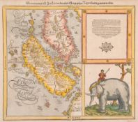
Münster (Sebastian) - Sumatra ein Grosse Insel so von den Alten Geographen Taprobana Genennt
0 GBP
200 - 300 GBP
Estimate
British Admiralty Charts.- - The North Atlantic Ocean, Eastern Part, 2 variant marine charts on
30 GBP
120 - 180 GBP
Estimate
publisher. The Scripture Atlas ; or, a Series of Maps  publisher.     The Scripture Atlas  ; or, a
70 GBP
100 - 150 GBP
Estimate
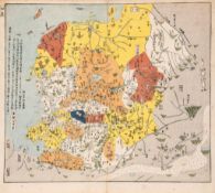
China.- - Historic map of China, The Spring and Autumn Period (770-476 BC),  colour woodblock, on
60 GBP
120 - 180 GBP
Estimate
Baedeker (Karl) - Tyrol and the Dolomites Including the Bavarian Alps, 1927; Belgium  and Holland,
20 GBP
100 - 150 GBP
Estimate
Johnstone (John) and W. & A.K. Johnston. - A group of 11 atlas sheets of European countries,
10 GBP
120 - 180 GBP
Estimate
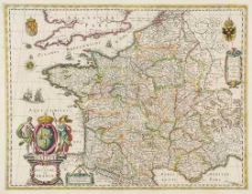
Blaeu (Willem) - Gallia - Le Royaume de France,  engraved map of France, decorative title cartouche
0 GBP
200 - 300 GBP
Estimate
Dury (Andrew) - An Actual Survey of the Provinces of Bengal, Bahar &c., the survey by Major James
110 GBP
100 - 150 GBP
Estimate
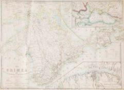
Wyld (James) - The Crimea, Second Edition, 26th Sept.r 1854, with inset maps of the wider region
20 GBP
100 - 150 GBP
Estimate
Schreiber (Alois) - Le Guide du Voyage du Rhin,  third edition, 9 folding engraved maps  &  plans,
30 GBP
100 - 150 GBP
Estimate