This auction is live!

You need to be registered and approved to bid at this auction.

Watch the auction
This auction is closed!

It is no longer possible to bid at this auction.

You are registered for this auction

You are now approved to bid at this auction.

Your auction registration is now pending

You have successfully registered for this auction, pending approval to bid. Please check your email for further information.

Your auction registration has been declined

Please contact the auctioneer for more information.

The Bibliophile Sale
Live
Venue address
Baverstock House
93 High Street
Godalming, Surrey
GU7 1AL
United Kingdom
The Bibliophile Sale

Bloomsbury Godalming

Auction dates
14 May 2015 11:00 BST
Viewing dates
12 May 2015 09:00 - 17:00 BST
13 May 2015 09:00 - 17:00 BST
14 May 2015 09:00 - 11:00 BST
Auction currency
GBP
Accepted cards
We found 57 items matching your search
Category
Item Type
Sorted by
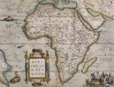
-. Ortelius (Abraham) - Africae Tabula Nova, map of the continent of Africa, showing Saudi Arabia
0 GBP
400 - 600 GBP
Estimate
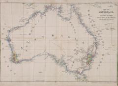
Australia.- Basire (James) - Map of Australia, Compiled from the Nautical Surveys, Made by Order
220 GBP
200 - 300 GBP
Estimate
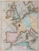
Nolin (Jean Baptiste) - Carte Des Costes Maritimes De L'Europe, sea chart showing Europe extending
0 GBP
200 - 300 GBP
Estimate
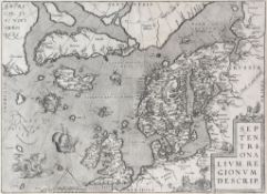
Ortelius (Abraham) - Septentrionalium Regionum Descrip. north Atlantic and north-west Europe,
0 GBP
300 - 500 GBP
Estimate
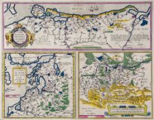
Ortelius (Abraham) - A group of 6 maps of central and northern Europe, including Pomeraniae,
0 GBP
400 - 600 GBP
Estimate
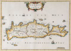
Greece.- Hondius (Jodocus) - Candia, olim Creta,  engraved map of Crete with outline hand-colouring,
100 GBP
150 - 250 GBP
Estimate
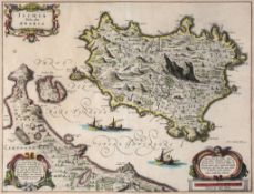
Italy.- Blaeu (Johannes) - Ischia Isola, olim Aenaria the Island of Ischia with the Peninsula of
0 GBP
200 - 300 GBP
Estimate
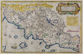
-. Ortelius (Abraham) - Thusciae descriptis auctore Hieronymo Bellarmato, map of Tuscany, with 2
0 GBP
400 - 600 GBP
Estimate
Low Countries.- Guicciardini (Ludovico) - Caerte vanden lande ende Graefschappe van Hollandt,
0 GBP
100 - 150 GBP
Estimate
Blaeu (Johan and Cornelius) - Russiæ, vulgo Moscovia, pars Australis, southern Russia, title
0 GBP
200 - 300 GBP
Estimate
Plescheef (Sergey) - Survey of the Russian Empire, translated by James Smirnove,   third edition,
200 GBP
300 - 400 GBP
Estimate
Tooke (William) - View of the Russian Empire, 3 vol.,   second edition, folding engraved map, some
140 GBP
100 - 150 GBP
Estimate
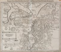
Scandinavia.- Munster (Sebastian) - Schweden,Gothien, Norwegien, Dennmarck  woodcut map of
0 GBP
250 - 350 GBP
Estimate
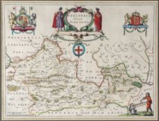
Berkshire.- Blaeu (Johannes) - Bercheria vernacule Barkshire  engraved map of Berkshire, large
0 GBP
150 - 200 GBP
Estimate
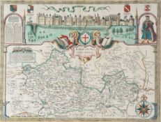
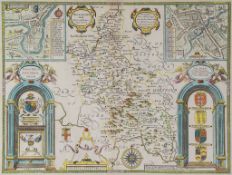
-. Speed (John) - Barkshire Described, decorative title cartouche, compass rose, costume figure,
180 GBP
200 - 300 GBP
Estimate
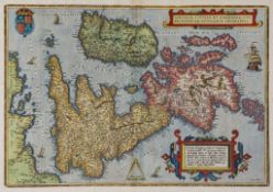
Ortelius (Abraham) - Angliae, Scotiae, et Hiberniae, sive Britannicar: Insularum descriptio, the
280 GBP
300 - 500 GBP
Estimate
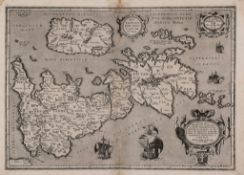
Ortelius (Abraham) - Britannicarum Insularum Typus, British Isles, north oriented to the right,
0 GBP
400 - 600 GBP
Estimate
Buckinghamshire.- Speed (John) - Buckingham Both Shyre and Shire towne describ.  engraved map with
180 GBP
200 - 300 GBP
Estimate
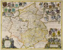
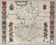
Cambridgeshire.- Blaeu (Johannes) - Cantabrigiensis Comitatus, Cambridgeshire  engraved map,
0 GBP
200 - 300 GBP
Estimate
-. Jansson (Jan) - Comitatus Cantabrigiensis; vernacule Cambridge Shire  engraved map, with original
0 GBP
200 - 300 GBP
Estimate
Cornwall.- Cook (James) - A Plan of the Road and Harbour of Fowey or Foy,  engraved plan with
100 GBP
150 - 200 GBP
Estimate
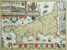
-. Speed (John) - Cornwall, inset views of Launceston and stone monuments, armorial cartouche, ships
600 GBP
600 - 800 GBP
Estimate
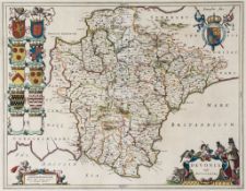
Devonshire.- Blaeu (Johan and Willem) - Devonia vulgo Devon-shire, county map with decorative
170 GBP
200 - 300 GBP
Estimate
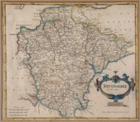
-. Morden (Robert) - Devonshire,  engraved map with original hand-colouring, 355 x 415mm., central
20 GBP
80 - 120 GBP
Estimate
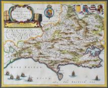
Dorsetshire.- Blaeu (Johannes) - Comitatus Dorcestria, sive Dorsettia  engraved map with hand-
220 GBP
150 - 250 GBP
Estimate
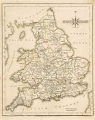
Cary (John) - Cary's new and correct English Atlas...,  engraved title and 47 maps, hand-coloured in
0 GBP
400 - 600 GBP
Estimate
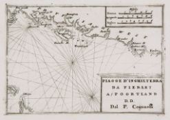
Coronelli (Vicenzo Maria) - Piagge D'Inghilterra Da Fierley A Poortland, Coastal chart from
0 GBP
200 - 300 GBP
Estimate
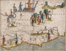
Drayton (Michael) - Surrey and Sussex, showing London, rivers, part of the Weald and other
0 GBP
500 - 700 GBP
Estimate
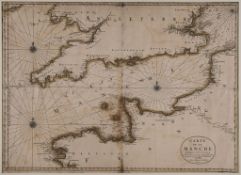
Jaillot (Alexis Hubert) - Carte de la Manche, chart of the English channel, with rhum lines and 3
0 GBP
200 - 300 GBP
Estimate
Morden (Robert) - A group of 7 English county maps, Cornwall, Essex, Hertfordshire, Oxfordshire,
0 GBP
400 - 600 GBP
Estimate
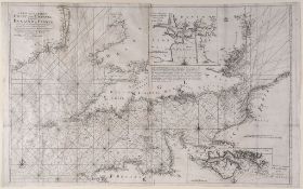
Mount (J.) and T. Page - A New and Correct Chart of the Channel Between England & France, detailed
0 GBP
150 - 250 GBP
Estimate
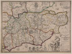
Saxton (Christopher) and Philip Lea - The Counties of Sussex, Surry and Kent, arms, ornamental title
260 GBP
300 - 500 GBP
Estimate
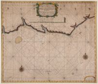
Van Kuelen (Gerald) - A New Gradually Encreasing Compass Map, of a Part of the Sea Coast of England,
0 GBP
300 - 500 GBP
Estimate
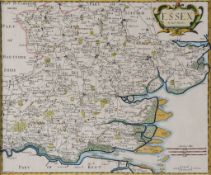
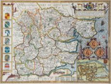
Essex.- Speed (John) - Essex, devided into Hundreds after John Norden, with inset bird s-eye plan-
480 GBP
250 - 350 GBP
Estimate
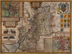
Gloucestershire.- Speed (John) - Gloucestershire map of Gloucestershire, inset plans of Gloucester
0 GBP
300 - 500 GBP
Estimate
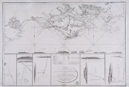
Hampshire.- Depot de la Marine - Carte de l'Ile de Wight et de la Cote Adjacente de Hampshire, after
0 GBP
200 - 300 GBP
Estimate
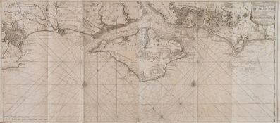
-. Van Kuelen (Johannes) - Nieuwe en zeer Naaukeurige Paskaart van Het Eyland Wigt, a detailed
0 GBP
300 - 500 GBP
Estimate
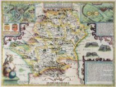
Hertfordshire.- Speed (John) - Hartfordshire Described, inset views of Hertford, Roman St Albans,
260 GBP
300 - 500 GBP
Estimate
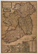
Ireland.- Moll (Herman) - A New Map of Ireland Ireland with counties, inset views of six town plans,
0 GBP
400 - 600 GBP
Estimate
Kent.- Braun (Georg) and Franz Hogenberg - Cantebrigia [Canterbury] bird s-eye plan of Canterbury,
170 GBP
200 - 300 GBP
Estimate
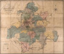
Lancashire.- Manchester.- Johnson (William) - Plan of the Parish of Manchester in the county of
0 GBP
600 - 800 GBP
Estimate
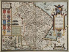
Lincolnshire.- Speed (John) - The Countie and Citie of Lyncolne Described, county map with
280 GBP
300 - 500 GBP
Estimate
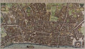
Ogilby (John) - A Large and Accurate map of the City of London,  facsimile reproduction of 1677
0 GBP
200 - 300 GBP
Estimate
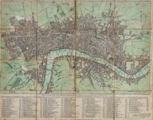
Sayer (Robert) and John Bennett. - The London Directory, or a New & Improved Plan of London,
200 GBP
300 - 400 GBP
Estimate
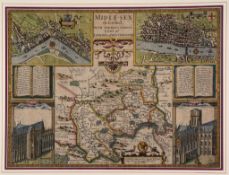
Middlesex.- Speed (John) - Midle-sex described with the most famour Cities of London and
480 GBP
500 - 700 GBP
Estimate
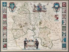
Oxfordshire.- Blaeu (Johannes) - Oxonium Comitatus, vulgo Oxford shire,  engraved map, title
140 GBP
100 - 200 GBP
Estimate
Speede Penbrokshyre Described and the Sittuations Both of Penbroke and St  Speede (John)
0 GBP
700 - 900 GBP
Estimate
Bowen (E.) - An Accurate Map of the County of Sussex. Divided into its Rapes, Deaneries, and
0 GBP
150 - 250 GBP
Estimate
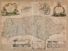
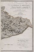
Gardner (W) and T Yeakell - A Topographical Map of the County of Sussex,  large engraved map with
750 GBP
600 - 800 GBP
Estimate
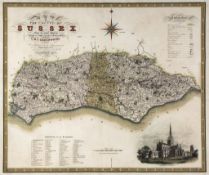
Greenwood (C. & J.) - Map of the County of Sussex, inset view of Chichester Cathedral lower right,
0 GBP
150 - 200 GBP
Estimate
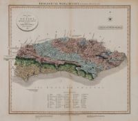
Smith (W.,mineral suveyor) - Geological map of Sussex, title above, addiontal title cartouche, 'A
4,000 GBP
200 - 300 GBP
Estimate
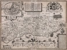
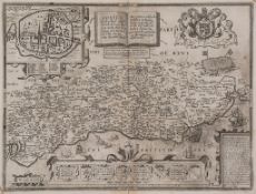
Speed (John) - Sussex described and divided into Rapes, inset town plan of Chichester, battle scene,
300 GBP
400 - 600 GBP
Estimate
Speed (John) - Sussex described and divided into Rapes, inset town plan of Chichester, battle scene,
0 GBP
400 - 600 GBP
Estimate
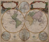
Homann (Heirs of) - Planiglobii Terrestris, Mappe-Monde, double-hemisphere world map, with polar
0 GBP
400 - 600 GBP
Estimate
Marshall (John) - The Life of George Washington, 5 vol.,   2 folding engraved maps only (of 12),
80 GBP
100 - 150 GBP
Estimate
Carthage and Her Remains, 1 folding map and 31 plates  ( Dr  . N.)     Carthage and Her Remains,
0 GBP
250 - 350 GBP
Estimate
Lawrence (T.E.) - Revolt in the Desert,  plates, folding map, endpapers browned, original buckram,
380 GBP
150 - 200 GBP
Estimate